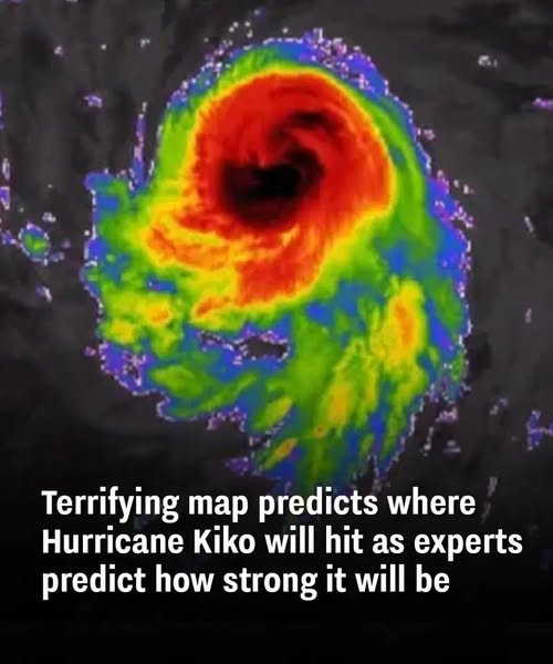
Hurricane Kiko is currently moving across the Pacific Ocean and is expected to pass near the Hawaiian Islands early this week. As of September 7, the storm is classified as a Category 3 hurricane, with maximum sustained winds around 115 mph. Forecasters from the National Hurricane Center report that Kiko is on a gradual weakening trend as it moves closer to the state.
Expected Impacts Even if the storm does not make a direct landfall, it could still bring heavy rain, dangerous surf, and localized flooding to parts of Hawaii. Meteorologists warn that flash flooding and landslides are possible, especially in low-lying or mountainous areas. Strong rip currents and large waves are expected along east-facing shores, creating hazardous ocean conditions.
Emergency Preparations Hawaii has declared a statewide emergency to ensure resources and support are ready. Emergency officials are encouraging residents to prepare by gathering supplies, staying informed through reliable alerts, and knowing evacuation routes if needed. Taking proactive steps now can help reduce risks as the storm approaches.
Historical Context Direct hurricane hits in Hawaii are rare, making Kiko’s close approach a significant event for the islands. With hurricane season continuing through November, experts remind the public to stay prepared and aware of weather updates throughout the coming months.